Flora and fauna
Discovering the natural beauty of the Conero
We start in the area between Marcelli and Numana, where the coast is still flat and the initial rhythm is easy to find. The first kilometers flow on asphalt, between secondary roads and linear stretches, with the sea not far away but often out of sight. It is a steady start, useful for getting into a rhythm before entering the Park.
Leaving the coastal strip, the route turns inland and immediately changes character. The roads begin to climb continuously, without sharp bursts but with a progression that makes itself felt. Fields, rows of vines, and spontaneous vegetation appear on the sides: it is the first contact with that more agricultural and less exposed part of the Conero, where human presence thins out and the landscape becomes more natural.
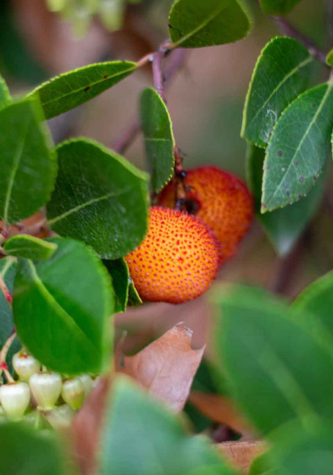
Entering the Parco del Conero, the track becomes more varied even in its surface. Asphalt alternates with compact dirt roads and gravel stretches, with some more irregular passages that force you to slow down and ride carefully. Here the "Flora e Fauna sul Conero" route makes sense: you pedal through different environments, among Mediterranean scrub, more open areas, and stretches of woods, where the sounds, the light, and even the smell of the air change. It is not something to be observed from the outside, but to be crossed by pedaling. The climb towards the area of Massignano and Pian dei Raggetti is the most demanding part. The elevation gain accumulates little by little, without real pauses, and forces you to find a steady pace. Around you, the landscape remains natural, with few built elements and a constant presence of vegetation that varies along the track: more shaded stretches alternate with openings where the light enters more directly.
Having reached altitude, the route stretches out. In the most open spots you can glimpse the coast, while on the sides the environments continue to change: scrubland, glades, forest edges. Even without looking for them, you notice small signs of animal presence — movements in the undergrowth, sounds, light tracks — which give continuity to the route's name without needing to force it. The descent towards Sirolo progressively brings you back onto asphalt. Riding becomes more fluid, but still needs to be tackled with care due to the presence of curves and, at times, traffic. The transition towards the town is gradual: first scattered houses, then a more defined context.
Having passed Sirolo, the track turns back south, towards the coast. The last kilometers still alternate between asphalt surfaces and short, more natural stretches, but without any particular difficulties. The elevation gain is now behind you and pedaling becomes steady again.
This closes a loop that crosses the Conero, truly entering its environments. It is not just a route between points, but a continuous passage between different landscapes, where the presence of nature — vegetation, sounds, spaces — accompanies the entire ride without ever becoming a separate element.